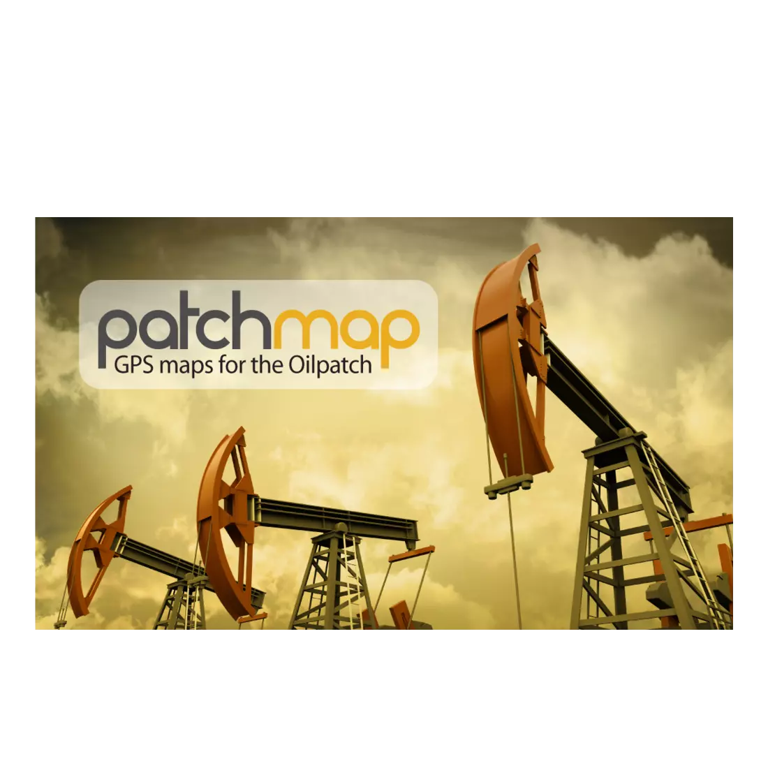


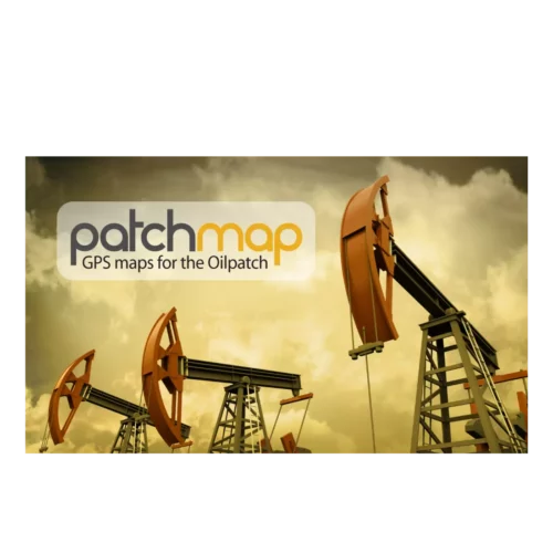


PatchMap™ – GPS Maps for the Oilpatch
$395.00
PatchMap is the perfect tool for anyone navigating with a Garmin GPS in the Manitoba, Saskatchewan, Alberta or BC Oilfield. Search for LSD or PNG, get the route. It’s that easy.
In stock
General Information
- SD card can be moved from Garmin to Garmin with no issues.
- SD cards can be updated online.
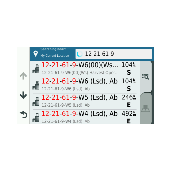
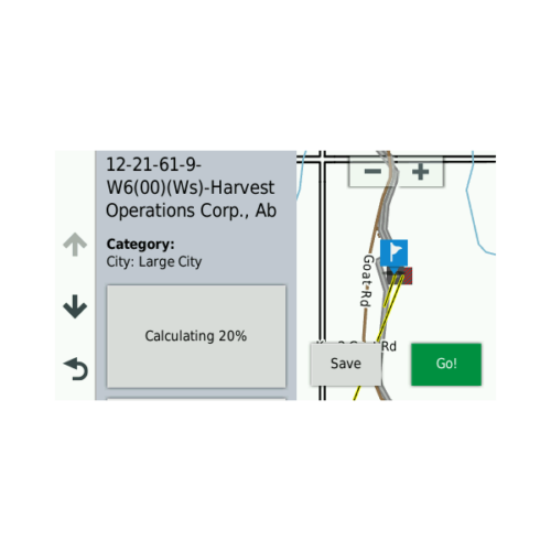
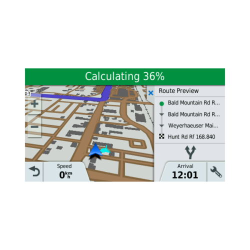
PatchMap is the Most Complete Set of Garmin GPS Oilfield Locations and Road Information Available. Not only will this program search for LSDs, PatchMap will also search Operator Name or type of Facility (Wellsite, Compressor site, Plant site). PatchMap is the only software searchable this way. We know how important having all the roads are, so we do, to the tune of 155,000 km more than any other product out there. That’s why PatchMap is so popular. Find an LSD quickly with the help of PatchMap.
PatchMap Map Layers:
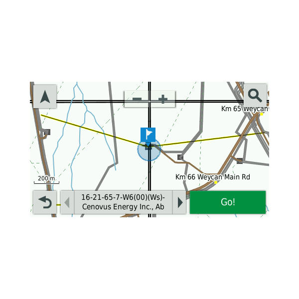
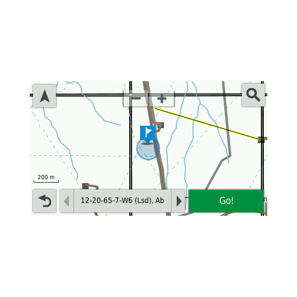
- Detailed PatchMap Road Data (includes names, kilometer posts and radio channels where available)
- Wellsites and Facilities (Searchable by bottom-hole or surface location)
- Road Names (Searchable)
- LSD Grid (AB, SK, MB) – Searchable
- PNG Grid (BC only) – Searchable
- Detailed, named watercourse
- Wellsite drill paths
- Wellsite Boundaries (where available)
- First Nations Reserve Boundaries
- Park and Protected Area Boundaries
- Urban Boundaries
- Cities/Towns/Hamlets (Searchable)
- Airports/Airstrips
- Other Geographic places (eg. Mountains, Valleys, etc) – Searchable
- Seismic Lines (where available)
- 10m Contour Lines
- Relief Shade background (device dependent)
PatchMap Map Coverage
Left: Western extent of BC oilpatch (-126°)
Right: Eastern border of Manitoba (-95°)
Bottom: Canada/USA border (49°)
Top: NWT Border 16 (60°)
PatchMap Features:
- Search LSDs
- Search Wells
- Search Facilities
- Search Addresses
- Save Recent Searches
- DEM (relief shade) Background
- PatchMap Oilfield Roads
- Oil and Gas Wells
- Plants and Facilities
- Waste Facilities
- Pipelines ROWs (Crown Land Only)
- Contour Lines
PatchMap Updates:
PatchMap is updated monthly. Update cost is $95.00. Updates are not required for continual operation but once you are having troubles locating a wellsite or two, it’s time to update (LSDs can always be located). We recommend updating your SD card a minimum of twice per year.
PatchMap: Favorite of Service Companies big and small: hotshots, salesmen, truckers, oilfield workers. Also used by Consultants, Seismic Supervisors and Surveyors for route design and ground truthing.
Device Compatibility
PatchMap will work with any Garmin GPS with an SD card slot.
PatchMap comes pre-loaded on a Micro SD card and includes an SD adpater for older devices using full-size SD cards.
| Weight | 0.1 lbs |
|---|---|
| Dimensions | 6 × 6 × 0.12 in |
| Brand | PatchMap |
| Map or Chart Format | MicroSD Card |
| Manufacturer Part Number | SB-PATCHMAP-TOPO |