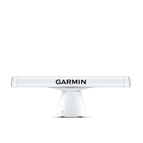
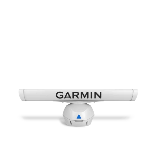
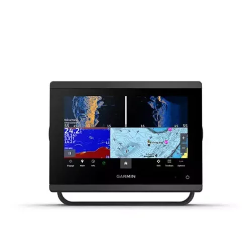
The
GMR 40 adds important radar information to a system that already includes GPS,
sonar, and XM WX Satellite Weather data components-making the Marine
Network one of the most comprehensive marine navigation systems on the market.
Impressive
Performance
The GMR 40 (4kW radome) features a narrow 3.6-degree horizontal
and 25-degree vertical beamwidth, which delivers accurate target acquisition and
better penetration through rain and fog. It has a range of 36 nautical miles (nm).
For fast and efficient presentation of radar signatures, raw data is processed
within the radome and presented on Garmin's GPSMAP 3006C
and GPSMAP 3010C chartplotter/multifunction displays (MFDs).

Color
Radar Page
Ease
of Use
The GMR 40 features automatic and manual sensitivity and tuning
controls, including gain, sea clutter, and rain clutter-which allows boaters to
spend less time tuning the unit and more time navigating. The unit also boasts
selectable interference rejection, which mitigates the effect of nearby radar
transmissions.
Advanced
technology
Once the GMR 40 is interfaced with a GPSMAP 3006/3010 MFD,
it is possible to overlay radar images on the charting to help reconcile radar
signatures with known objects. Users can view "radar only" or split the display
for multiple views of radar and charting. To aid in collision avoidance, the unit
also offers MARPA (Mini Automatic Radar Plotting Aid) capability, which allows
boaters to track the bearing, course, speed and predicted closest approach (by
both time and distance) of up to 10 targets. MARPA functionality requires GPSMAP
3006/3010 MFDs and an optional heading sensor.*

Radar
Overlay on Cartography Split
Screen
Marine
Networking
The GMR 40 communicates with the Garmin
Marine Network through a waterproof 100-megabit plug-and-play proprietary
network-which affords users the ability to expand their boat's system as needed.
Boaters can connect a GPS antenna and one remote network sensor (like the GMR
40) directly to the MFD-or with the addition of the GMST 10
Network Port Expander, users can connect multiple MFDs and network sensors
to the same network.
*Garmin
suggests the KVH 1000 heading sensor. See your dealer or installer for details.