Marine & Freshwater GPS
Our range of marine products include GPS units, chartplotters, fish finders, transducers & more. Buy from leading brands like Garmin, Lowrance, Humminbird from GPS Central.
$115.49
In stock
$35.99
On backorder

$99.99
On backorder

$57.99
In stock

$57.99
In stock
$18.95
On backorder
$24.95
On backorder
$1,399.99
On backorder
$35.99
In stock
$39.99
On backorder
$369.99
On backorder

$1,699.99
On backorder
$1,499.99
On backorder

$1,169.99
On backorder
$1,999.99
On backorder
$2,099.99
On backorder

$399.99
On backorder

$279.99
On backorder
$599.99
On backorder

$999.99
On backorder
$579.99
On backorder

$1,749.99
On backorder

$99.99
On backorder

$62.99
On backorder

$2,819.99
On backorder
$1,399.99
On backorder

$104.99
On backorder
$65.00
On backorder
$165.99
On backorder
$269.99
On backorder
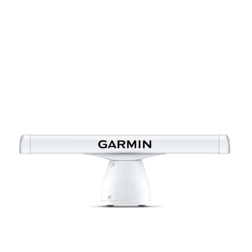
$8,769.99 – $9,849.99
On backorder
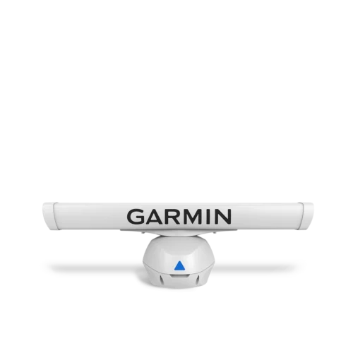
$12,019.99 – $13,089.99
On backorder
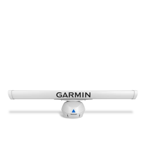
$6,339.99 – $7,419.99
On backorder
$11,069.99 – $11,469.99
On backorder
$11,739.99 – $12,149.99
On backorder