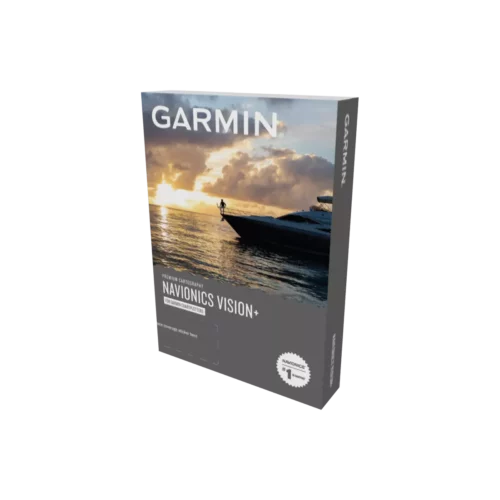
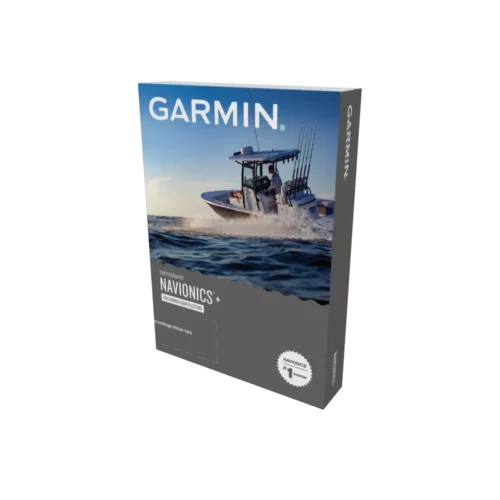
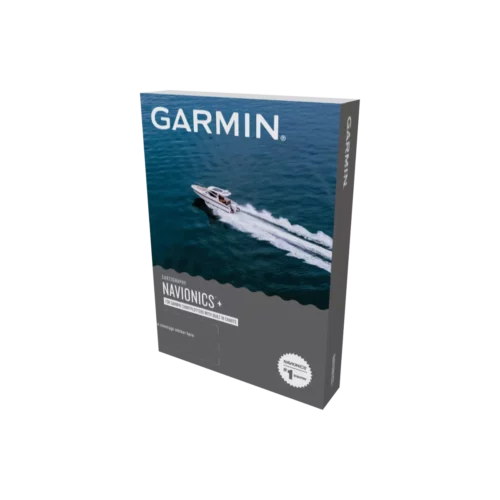
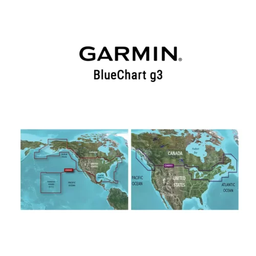
GPS Central Canada
100% Canadian Owned and Operated! 100% Canadian. Canada's #1 GPS Store!
We accept Visa, MasterCard and PayPal

Sign in | View cart | Contact us
1-800-585-9331
Prices are in CDN dollars
GPS Prices in Canadian Dollars
Follow | Follow us on FacebookFollow us on Twitter


Navionics Platinum Marine Charts: SD Data Card

NEW! Get FREE chart updates for a year! Here's how

Award-Winning Platinum Charts! The best cruising features available for your chartplotter, from seamless chart detail, to satellite photos and 3D.

Navionics Platinum XL3 Coverage Map

XL3-SIZE COVERAGE
THE BEST DETAIL Tides and currents, shaded depth contours, navaids with XplainT (a plain-language description feature that, with just a click of the cursor, deciphers confusing navigational symbols into plain-language everyone can understand), spot soundings, port plans, port service guides and more.
THE EASIEST TO USE Plug-and-play cartridge is ready to use, no CDs, downloads or unlock codes required.

Key Features:

  • Full seamless & IC technology
  • Paper-like charts
  • Safety depth contours (user-selectable)
  • Navaids with XPLAIN (explains what the marine symbols mean)
  • NAVPLANNER / PC software compatible
  • Major Coastal Road Networks
  • Enhanged Port Services (including photne numbers)
  • High-Definition Fishing Detail
  • Dynamic Tides & Currents
  • Coastal Points-of-Interest (banks, hotels, restaurants, etc)
  • Panoramic Pictures
  • Geo-Referenced Coast Pilot Books
  • Satellite Photo Overlay (full-view or land-only view)
  • 3-Dimensional View (with 360 degree rotation & pitch)

Navionics charts cover the world providing navigators and fisherman with all the necessary data for safer and easier navigation. Provided by geographic area on pre-programmed cartridges compatible with popular chartplotters including Lowrance and more. Just plug-and-play into a Navionics compatible plotter and have easy access to all the essential information found on official paper charts and fishing maps: tide and current data, depth contours, spot soundings, navaids, location names, detailed port plans, port service guides, and more.

All the Navionics Platinum charts come pre-loaded on a SD card ready for plug-and-play use with the Lowrance models listed on the right, as well as with several other chartplotter brands such as Humminbird, Northstar and Raymarine. A Navionics Multi Card Reader and Fugawi Marine ENC V 4.5 allows use on a laptop or PC.

view cart

Navionics Platinum XL3 Maps Screen Shot

Navionics Platinum XL3 Maps Screen Shot

Navionics XL3 Platinum Map View

Navionics Platinum Screen Shot XL3

Navionics XL3 Platinum Maps

Lowrance Compatibility:
. HDS 10/ 10m/ 5/ 5x/ 5m/ 7/ 7m/ 8/ 8m
. LCX-112C/ 113C hd/ 27c/ 28c hd/ 37c/ 38c hd

. LMS 522c Ice Machine/ 520c/ 522c iGPS/ 525c df/ 527c dfiGPS
. GlobalMap 5200c/ 5300c/ 7200c/ 7300c/ 8200c/ 8300c/ 9200c/ 9300c/ Baja 540c/ Baja 840c
Other Brands: Click here (pdf)

Humminbird Compatibility:
.1155c/ 1157c / 1197c SI/ 955c/ 957c/ 967c 3D/ 997c SI

REGION
DESCRIPTION
STATUS
MFG PART NO
OUR PRICE
BUY NOW!
ONTARIO, ERIE and ST CLAIR, HURON, OTTAWA RIVER Including North Channel, Georgian Bay, Trent Severn Waterway, Rideau Waterway, The Finger Lakes and Lake Champlain.
SD/901P-2

ST LAWRENCE RIVER, GULF OF ST LAWRENCE, NOVA SCOTIA, LAKE CHAMPLAIN From Cornwall and Montebello to Bay of Fundy, including Sable Island, Iles De La Madeleine, Prince Edward Island, Anticosti Island and Lake George.
SD/902P-2

GULF OF ST. LAWRENCE, NEWFOUNDLAND Including Cape Breton Island, Iles De La Madeleine, Prince Edward Island and Strait of Belle Isle.
SD/903P-2
PUGET SOUND, BRITISH COLUMBIA, VANCOUVER ISLAND From Puget Sound to Queen Charlotte Sound, including Juan de Fuca Strait, Strait of Georgia, Johnstone Strait, Queen Charlotte Strait, Cape Flattery.
SD/913P-2
HECATE STRAIT, QUEEN CHARLOTTE ISLAND, CHATHAM SOUND, GAMBIER BAY, PARRY PASSAGE, NEVA STRAIT. From Queen Charlotte Sound to Frederick Sound, including Prince of Wales Island, Kuiu Island, Chatham Strait and Baranof Island.
SD/914P-2
MICHIGAN, SUPERIOR, HURON Including Lake of the Woods, Rainy Lake, North Channel, Georgian Bay, Green Bay and Lake Winnebago.
SD/900P-2

© 2001-2012
Mach Ten Enterprises Inc.
All rights reserved
GPS Central
#8, 711 - 48 Ave SE Calgary AB Canada T2G 4X2
Since 2001 - Factory Authorized Dealer
Sitemap | Terms of Use | Privacy Policy